Signed in as:
filler@godaddy.com
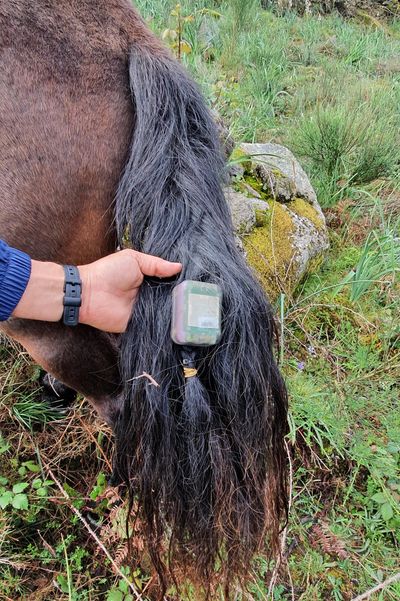
The WildTrack GPS logger sends position information via satellite at user-defined rates. As it uses the Globalstar satellite constellation to report positions, it can be employed in remote locations that lack cellular network coverage. The tag is reusable and capable of induction recharging, not to compromise its structural integrity and waterproofing. The colour is customisable. There are two WidTrack versions (S and L), differing in dimensions, weight and battery longevity. Please check the downloads below or the store for more details.
Before deployment, a free Android app is used to communicate with the tag via Near Field Communication (NFC). The app is WildTrack and can be downloaded from Android's PlayStore. This allows the user to customise the mission's parameters (e.g., frequency of acquisition and communication of positions, the maximum number of positions to report).
A basic satellite data subscription to Globalstar is required. The tag acquires GPS positions and communicates those positions at a user-defined rate. Depending on the habitat structure, it is possible that some positions are not sent (e.g., in deep valleys or dense forests, satellite communication is more difficult). Position data is provided through the Globalstar web service.

This float is also made of LD2000 Pure Syntactic Foam, an advance material which is able to maintain its shape and dimensional integrity up to a depth of 2000 meters. It can be 3D machined to accommodate a vast array of environmental and physiological sensors. Weights are strategically added to obtain the desired buoyancy. The colour is also customisable.
The suite of sensors is customisable. The example in the picture on the left includes a visible light camera, an accelerometer, a pressure sensor (depth), a light intensity sensor and probes to measure environmental and body temperatures.
After a pre-determined amount of time (programmable with a smartphone during the initial tagging), the tag sets off a small explosive charge that severs the attachment cable. Then, it floats to the surface, determines its position via a GPS receiver, and communicates its location using the Globalstar satellite constellation to find and recover it. The user can define the frequency of position reporting. A basic satellite data subscription to Globalstar is required. This tag may also include VHF communication for redundancy.
It weighs approximately 500 gr and measures approximately 12 by 8 cm. The actual dimensions depend on the specific array of sensors of each tag.